Understanding the processes that shape our planet—and how they affect the people who live on it.
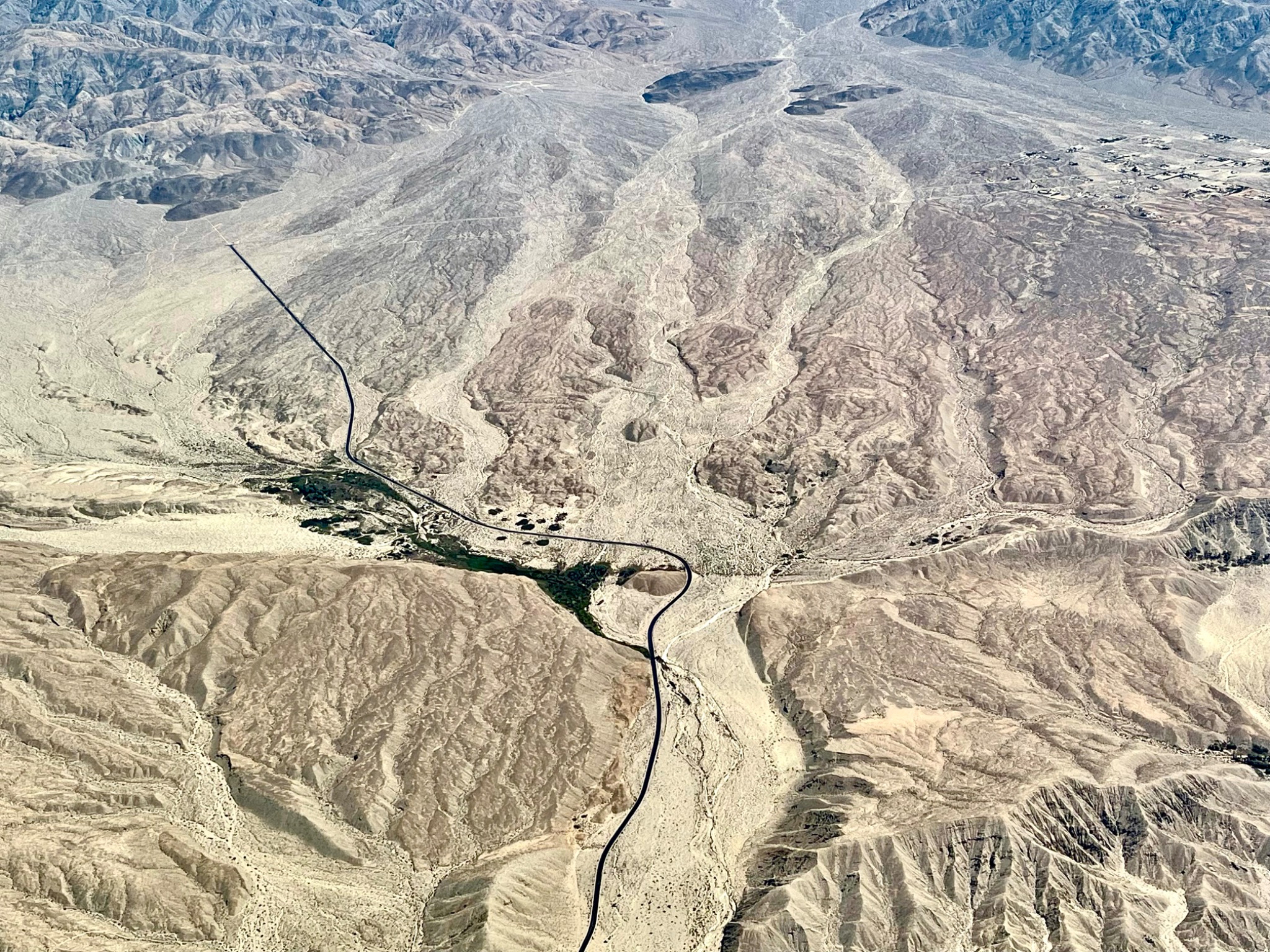
My research curiosities center around how fault systems evolve, how mountains grow, and what rocks and landscapes preserve about Earth’s history. I use geologic mapping, remote sensing, geomorphology, paleoseismology, geochronology, and thermochronology to investigate those processes.
My work today: As the Branch Chief of Seismic Hazards and Earthquake Engineering at the California Geological Survey, I help lead and support earthquake science programs, build partnerships and foster collaborations, and move research toward practical applications. My research background informs that work; I no longer actively conduct research myself.
Research highlights
Mapping fault systems from space
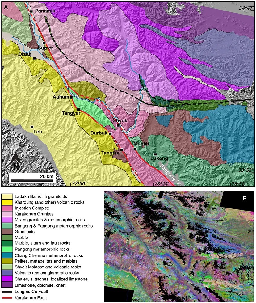
ASTER satellite observations and field geology help reveal the relationship between the Karakoram and Longmu Co faults along the southwestern Tibetan Plateau.
Applications of high-resolution topography
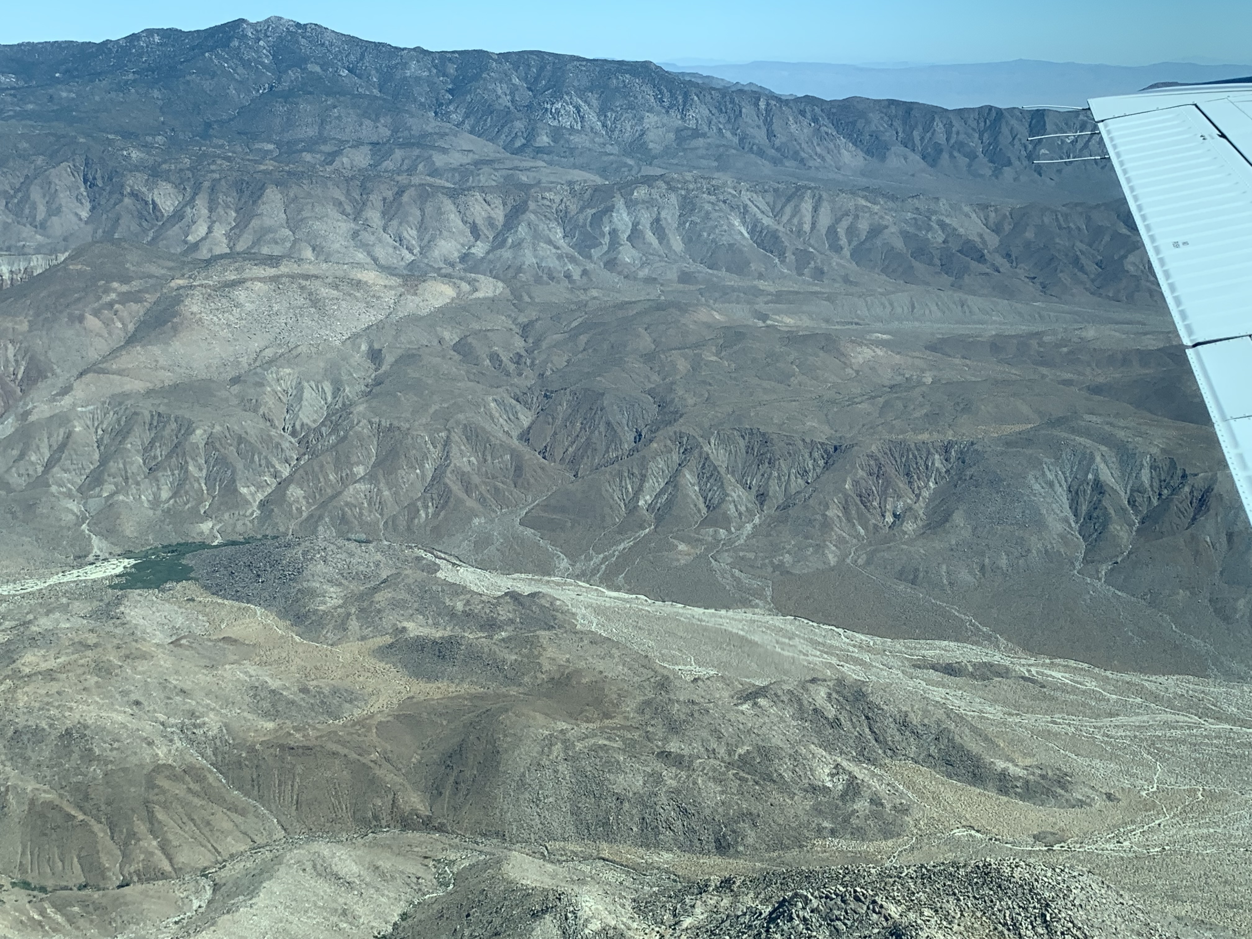
High-resolution topographic data can reveal details of Earth’s surface that are difficult to recognize on the ground. This paper explores how these data can support Earth science education, including teaching about earthquakes and faulting.
Reading a continental collision
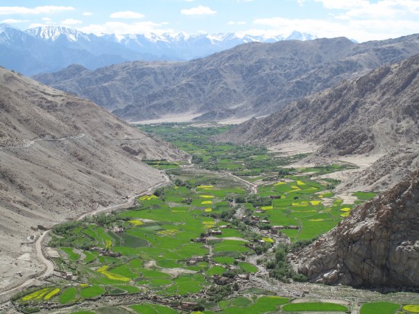
Structural geology, geochemistry, and geochronology help reconstruct the Shyok suture’s history and constrain displacement along the Karakoram fault.
Figure: Bohon & Tripathy-Lang, Frontiers for Young Minds, Fig. 2. CC BY 4.0. Landscape illustration from my field archive.
Mapping rocks from space—for young readers
How can we map mountains we cannot reach? Dr. Alka Tripathy-Lang and I explain how satellite observations and laboratory measurements reveal rock types and the history of faults in the northwestern Himalaya. Our article in Frontiers for Young Minds connects the original research with young readers.
Read Mapping Rocks From Space →
Select Publications
Bohon, W. and Tripathy-Lang, A., Mapping Rocks From Space. Front. Young Minds., 2024, 12:1368101. doi: 10.3389/frym.2024.1368101
Seagren, E., Schoenbohm, L., Owen, L., Figueiredo, P., Hammer, S., Rimando, J., Wang, Y., Bohon, W., Lithology, topography, and spatial variability of vegetation moderate fluvial erosion in the south-central Andes, Earth and Planetary Science Letters, Volume 551, 2020. https://doi.org/10.1016/j.epsl.2020.116555.
Bohon, W., Hodges, K. V., Tripathy-Lang, A., Arrowsmith, J. R., and Edwards, C. (2018). Structural relationship between the Karakoram and Longmu Co fault systems, southwestern Tibetan Plateau, revealed by ASTER remote sensing. Geosphere, 14, 1837–1850.
Robinson, S., Bohon, W., Kleber, E., Arrowsmith, JR., Crosby, C., Applications of high-resolution topography in Earth science education, Geosphere, v. 13, issue 6, pp. 1887–1900, 2017. Doi:10.1130/GES01236.1.
Borneman, N., Hodges, K., van Soest, M., Bohon, W., Wartho, J.A., Cronk, S., Ahmad, T., Age and structure of the Shyok suture in the Ladakh region of northwestern India: Implications for slip on the Karakoram fault system, Tectonics, v. 34, 10, p.2011-2033, 2015. Doi: 10.1002/2015TC003933.
Select Conference and Workshop Contributions
Chen, R., Kang, M., Wurgler, R., Dawson, T., Thomas, K., and Bohon, W. (2026). Updated Shaking Potential and Ground Motion Hazard Maps for California. Seismological Society of America Annual Meeting. Coauthor; invited presentation by Rui Chen.
Bohon, W., Dawson, T. E., and Haddadi, H. (2025). Earthquake Science in Public Service: Working to Keep Earthquake Hazards from Becoming Earthquake Disasters. Geological Society of America, Cordilleran Section, 121st Annual Meeting.
Schoenbohm, L., Costa, C., Brooks, B., Bohon, W., Gardini, C., Cisneros, H., Fault interaction along the Central Andean front: The Las Penas thrust, Cerro Salinas thrust and the Montecito Anticline, AGU Fall Meeting, 2013.
Bohon, W., Hodges, K., Arrowsmith, JR., New Thermochronology data reveals disturbed cooling histories near the intersection of the Karakoram and Longmu Co Faults, NW India, AGU Fall Meeting 2012.
Bohon, W., Arrowsmith, JR., Hodges, K., Temporal and spatial variation in slip along the central Karakoram Fault System, Ladakh Himalayas, AGU Fall Meeting, 2010.
Bohon, W.M., Hodges, K.V., Arrowsmith, JR., Tripathy, A.K., A New Quaternary Strand of the Karakoram Fault System, Ladakh Himalayas, in Leech, M.L., and others, eds., Proceedings for the 25th Himalaya-Karakoram-Tibet Workshop: U.S. Geological Survey, Open-File Report 2010-1099, 2010.
Bohon, W., Arrowsmith, JR., and Hodges, K., Temporal and Spatial Variation in Slip Along the Southern Strand of the Karakoram Fault System, Ladakh Himalayas, 2010 SCEC Annual Meeting.
Bohon, W., Schoenbohm, L., Brooks, B., Costa, C., Accelerating Uplift Rate and Non-uniform Inheritance: Cosmogenic Be10 Depth Profiles from the Montecito Anticline, Mendoza, Argentina,AGU Fall Meeting, 2008.
Select Science Talks
Scientific presentations, classroom programs, and public conversations bring this work to different audiences—from scientific colleagues and public agencies to students and community groups.
Myanmar Earthquake, Seismic Safety Commission, 2025.
Earthquakes in California, Colloquium Speaker, UC Merced, 2025.
Earthquake Science in Public Service: Working to Keep Earthquake Hazards from Becoming Earthquake Disasters, GSA Cordilleran Section Meeting, 2025.
Risky Business: life along an active margin, Geological Society of America Noontime Lecture, 2024.
Earthquake Science, Exploring by the Seat of Your Pants, 2024.
Risky Business: life along an active plate margin, EarthX, University of Calgary, 2024
Exploring Earthquake Science, Exploring by the Seat of your Pants, 2023.
Shaking Up Earthquake Science, Keynote at National Science Bowl, Department of Energy, 2023.
East Coast Earthquakes, NC Office of Environmental Education and Public Affairs, 2023.
Understanding Earthquake Science, Summer Science Program, New Mexico State, 2023.
The Science of Earthquakes, Learning Geology, GSA, 2023.
Shaking up Earthquake Science, Science in the Virtual Pub, 2022.
Lidar in Geoscience and Geoscience Education, Colloquium talk, New Mexico State University, 2021.
Using ASTER Remote Sensing to Make Maps from Space, Smithsonian Museum of Natural History, 2020.
Earthquakes!, SEG FUTA Nigeria University of Technology, 2021.
LIDAR Applications in Geoscience Research and Education, Colloquium talk, Villa Nova, 2020.
Earthquake Hazards and Risk, Webinar, Cafe Scientifique, 2020.
Rocks from Space!, Nerd Nite, Washington DC, 2018.
View my CV for the full list of talks and presentations →
From research to application
Earthquake science informs building codes, infrastructure, hazard assessment, emergency response, and preparedness. My current work centers on leading earthquake programs and helping these programs and the people who use their results connect effectively.
That includes supporting scientists, establishing scientific and organizational priorities, strengthening collaborations, and connecting with engineers, emergency managers, government agencies, universities, and communities. The scientific questions remain essential—and so does what we do with the answers.
Explore Speaking & Media → · Science Communication & Education · About

